Only in Montana or Alaska or Wyoming (or Colorado or Idaho or Nevada or...okay, maybe in a lot of states) would a road like this be called a "highway". Montana Highway 38, the Skalkaho Highway to be exact. It runs from just South of Hamilton in the heart of the Bitterroot Valley, across the Sapphires--the only road across them--to the upper end of the Flint Creek Valley, aka the Philipsburg Valley.
View Skalkaho Highway in a larger map
We were in Missoula for a wedding and thought it might be nice to take a long way home, since we had the time. I'm still nervous about Gertrude and her many failings--some of which are prone to exacerbation by rattling, but she keeps on proving herself a worthy and eager car. (I should watch it with such talk lest I jinx us.)
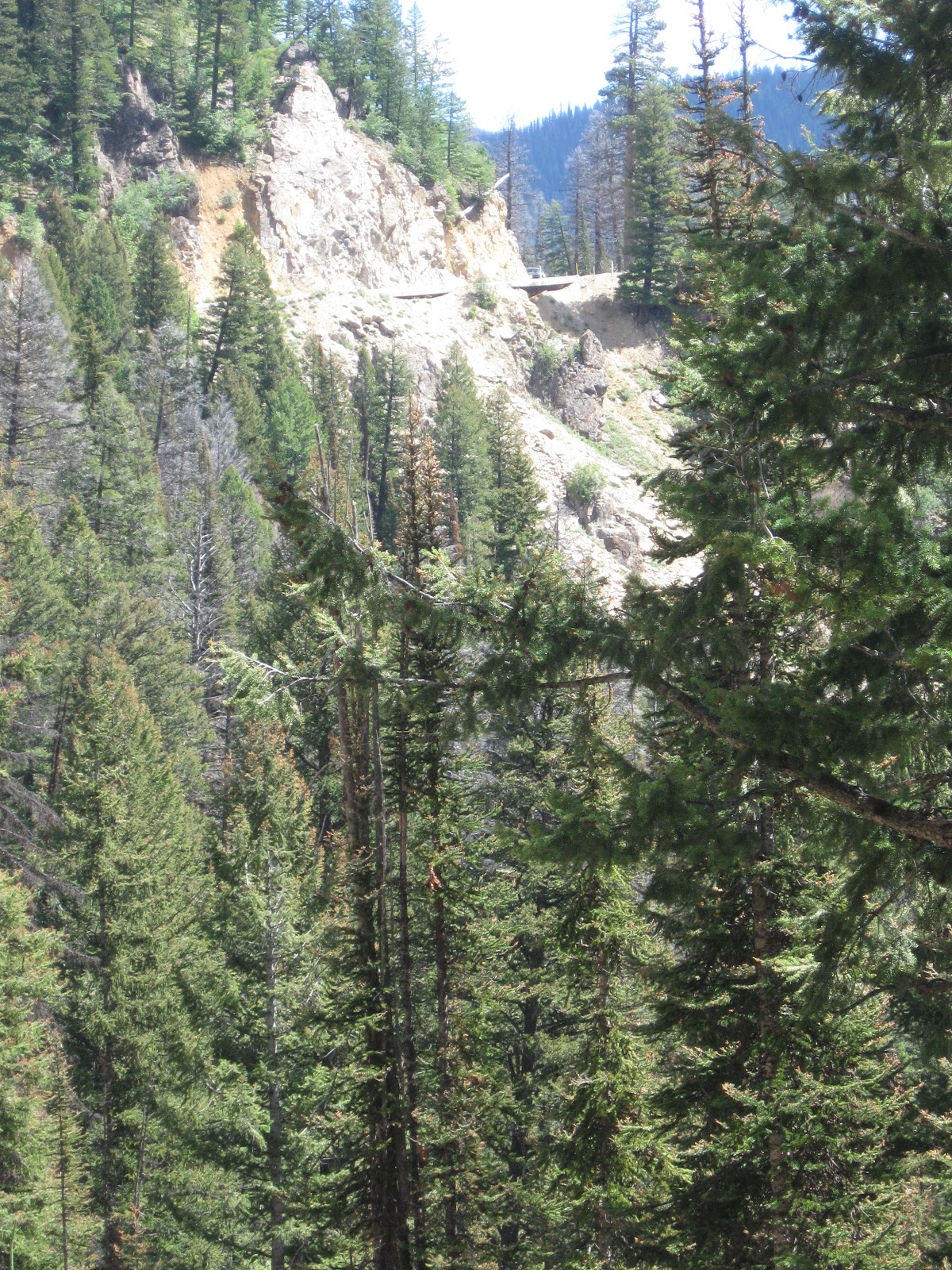
The Skalkaho Highway (the road itself) is very reminiscent of Going-to-the-Sun Road (the spectacular and famous road over the top of Glacier National Park) to my eye, with a few relevant differences: (1) the upper reaches of it (probably 20 miles or so) aren't paved; (2) it's narrower; (3) there are no guardrails.
Melissa seemed happy enough to let me drive (Tater Tot was asleep and didn't offer an opinion), until we started to climb above the trees and I started sightseeing a little too much for her comfort. I reminded her I've never even come close to driving over a cliff sightseeing. She reminded me that on this road, there was no "coming close" to driving off a cliff; you're either on the road or you're tangled up in pine a few hundred feet below the deck. I still don't think I was putting us in any danger but I need to recognize a chance to look at trees and rocks when I get one, so at the falls we executed a Chinese fire drill.
Skalkaho Falls
The lack of movement woke E up and after pointing out the falls to her we kept going, the three of us now enjoying the scenery. Or two of us--the passenger side dropoff got even more severe after the falls and Melissa dutifully kept her eyes on the road:
Hopefully this video gives an accurate impression of the situation.
Here's another. Sorry I'm not fancy enough to put a soundtrack to these like certain other bus bloggers.
The road leveled out at the top where we stopped for some pictures. There was a guy from Butte ("1" county plates) checking a map, appearing lost. I thought that was funny--
how do you get lost on a road that only goes from X to Y? Melissa was more charitable and didn't think he was lost.
At 7250 ft, Skalkaho Pass is over 600 feet higher than Logan Pass on GttSR in Glacier National Park. Ludwig, I think, is proud that Gertie so easily traversed this decently high pass. He's only gone higher a couple times himself, while under our watch anyway.
at the top
After the summit we lazily wound down through the woods (firs mixed with aspens now, which seem to make their appearance further this way toward the Great Divide) and I took a couple videos in a novel way.
Having grown up in Nebraska, something I'd never had much occasion to ponder is that most mountain ranges seem to have a steep side and a shallow side (a result of tilted-block faulting, a common type of mountain building). The Eastern side of the Sapphires is the shallow side in the present case.
it's always encouraging seeing other old cars getting used
Gertie was perfectly happy with the change of pace from the usual, more direct route (re: I-90) and powered us over Georgetown Lake and on home without issue.
"Skalkaho" is Salish for "beaver", incidentally.


3 comments:
I kinda dig the sideways video the best. Kinda reminded me of my old days skeeching: http://www.youtube.com/watch?v=NcHjWFTNb0o
"Skeeching" looks to be a singularly inadvisable activity.
Alright,
whc03grady.
Looks like an absolutely fantastic trip! Though that road is more than a little scary.
Post a Comment